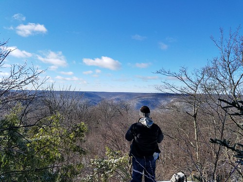
New York has the most diverse scenery of any state east of the Rocky Mountains. The Empire State boasts vast lakes, canyons, alpine peaks, huge waterfalls, large rivers, pastoral countryside, beaches, and significant wilderness. It also has an extensive backpacking trail system. Which ones should you hike?
Most of the hikes below follow routes that include multiple named trails. For more information, see Backpacking New York.
https://flic.kr/p/AVr8oi
Western New York and the Finger Lakes
Allegany State Park
22 mile linear hike
Easy-moderate
Hike the North Country and Finger Lakes Trails across New York’s largest state park. Enjoy scenic forests, streams, and three shelters. While this hike doesn’t have standout natural features like waterfalls or vistas, the beautiful forests and good isolation make this an ideal backpack. Perfect for autumn colors.
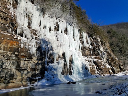
Letchworth Trail
23 mile linear trail
Easy-moderate
This trail stretches across stunning Letchworth State Park, exploring the more isolated eastern rim of the famous gorge. There are views of two of the giant waterfalls and great views at the southern and northern ends of the trail. The trail passes many steep ravines carved by sidestreams with seasonal cascades. There are two shelters.
https://flic.kr/p/pfEXA2
Morgan Hill State Forest
14 mile loop
Easy-moderate
This loop follows sections of the North Country Trail and a rural road. It features two ponds, scenic forests, streams, an incredible vista, and impressive Tinker Falls. You will also enjoy a gorge with cascades. There’s a lot of scenery along this small loop, which is strategically located in the central part of the state, south of Syracuse. There is one shelter.
https://flic.kr/p/hEhiWX
Catskills
Escarpment Trail
23 mile linear trail
Moderate-difficult
A classic trail, enjoy stunning views, ledges, rock outcrops, a lake, boreal peaks, diverse forests, Blackhead Mountain, Windham High Peak, and famous Kaaterskill Falls, which is just off trail. The trail is known for being dry. There are two shelters.
https://flic.kr/p/p5KZo6
Windham High Peak and Blackhead Range Loop
18 mile loop
Difficult
Summit four Catskill peaks with spruce forests and excellent views. There are beautiful spruce forests and two shelters. Water can be limited. There is a four mile roadwalk to complete the loop.
https://flic.kr/p/f4enXX
Devil’s Path
25 mile linear trail
Very difficult
One of New York’s most famous, and brutal, trails. The punishing terrain reveals incredible views, rock shelters, and outcrops. Trail is very rocky and steep in places. Enjoy the spruce forests. The eastern half is drier, has more views, and is more difficult. The western half is easier, has more water, and a waterfall. There are four shelters.
Wittenburg-Cornell-Slide Loop
16 miles (including Giant Ledge)
Difficult
The classic Catskills backpack that summits three peaks, including the highest in the Catskills, Slide Mountain. The views are stunning from spruce covered summits. Be sure to include Giant Ledge with its own series of excellent views.
https://flic.kr/p/exfmS1
Southern New York, Hudson Valley and Taconic Mountains
South Taconic Trail
16 mile linear trail (trail has been extended further south)
Moderate-difficult
The best trail that you never knew existed, put this one on your list. It features excellent vistas from grassy balds on mountain summits, cascading waterfalls, and just off trail, the stunning Bash Bish Falls. The trail straddles the New York/Massachusetts border. Alander and Brace Mtns. cannot be missed. It’s hard to believe this trail isn’t more popular.
https://flic.kr/p/nVTGn9
Harriman State Park-West
22 mile loop
Moderate
Harriman is a very popular and surprisingly beautiful park that has a vast web of trails. I like this loop because of its diversity and relative isolation. It encompasses Island Pond, Lake Tiorati, and the Appalachian Trail. There are many vistas, ponds, cascades, rock outcrops, streams, gorges, and the famous Lemon Squeezer. There are three shelters.
https://flic.kr/p/mT9EfQ
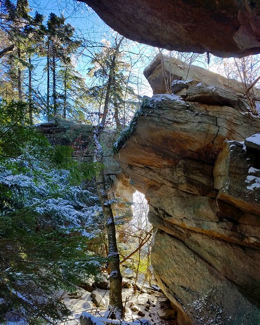
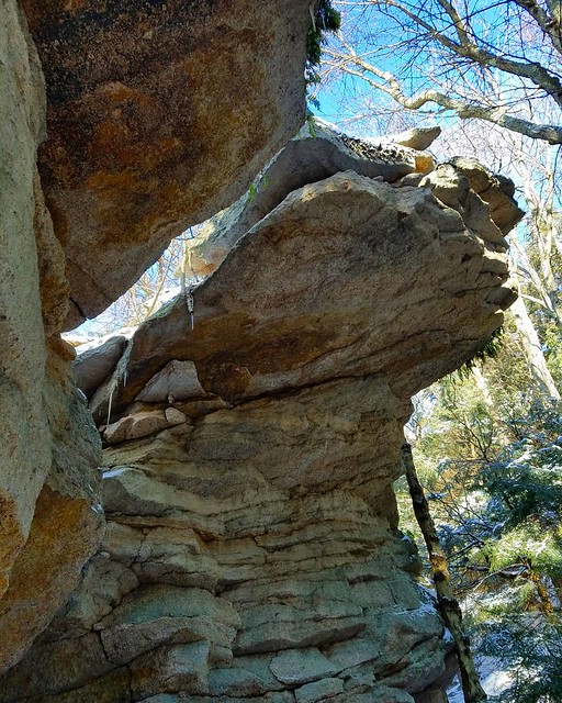
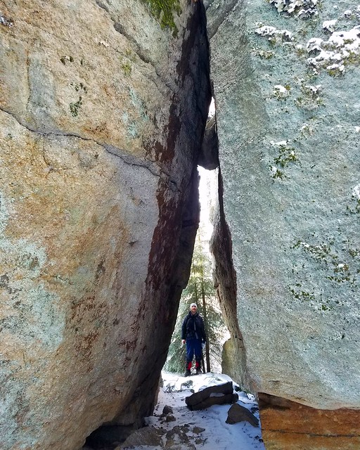
Shawangunk Ridge Trail
28 miles (entire trail is 70 miles long)
Moderate-difficult
This is the best section of the little-known Shawangunk Ridge Trail; it goes from NY 55 south to NY 171. As you’d expect for the Gunks, there are non-stop views from white cliffs. Highlights include Sam’s Point, Ice Caves, and towering Verkeerderkill Falls. The trail is very circuitous through Minnewaska State Park. Camping is a problem on this route and is prohibited along its northern half. South Gully is a scenic gorge. The southern half of this route is quite nice with many vistas, isolation, and camping potential. Watch for sun exposure on the northern half and water can be a problem in dry weather.
https://flic.kr/p/pNtVWv
Adirondacks
Lake George Wild Forest
21 mile loop
Moderate-difficult
An excellent loop with beautiful ponds, cascades, and great camping. Enjoy views of pristine Lake George. The views from Sleeping Beauty, and Black Mountain in particular, are stunning. There are five shelters.
https://flic.kr/p/oozrj3
Pharaoh Lake Wilderness
24 mile loop
Moderate-difficult
A popular and beautiful destination, this loop offers gorgeous ponds, streams, a waterfall, incredible camping, and superb views. There are also mining remnants. Views from Pharaoh Mountain are excellent. There are eleven shelters, often in beautiful locations.
https://flic.kr/p/p5LxZW
West Canada Lakes Wilderness Loop
23 mile loop
Easy-moderate
A great backpack to get away from it all in an isolated wilderness. There are beautiful lakes, wetlands, and streams. Boardwalks offer views over the water. There are eight shelters, often along scenic lakes and ponds. A side hike to the top of Pillsbury Mountain from the trailhead offers excellent views.
https://flic.kr/p/oZwjGx
Cranberry Lake 50
50 mile loop
Easy-moderate
New York’s premier backpacking loop, this trail has become increasingly popular. Enjoy views of beautiful lakes and ponds, traverse the top of beaver dams in wet areas, and revel in the isolation of woodlands and grassy meadows. Do not miss High Falls or the excellent views from Cat Mtn. There are also a few waterfalls and cascades. There are four shelters and many great campsites. The trail goes through the village of Wanakena and there are almost eight miles of roadwalking to complete the loop. For shorter loops, do the High Falls or Dog Pond Loops.
https://flic.kr/p/pb5UUy
Northville-Placid Trail
135 mile linear trail
Easy-difficult
New York’s premier backpacking trail, this iconic trail stretches across much of the famous Adirondack Park. This is a lower elevation trail and mountain top vistas are rare, but there are numerous ponds, lakes, rivers, creeks, and some cascades. The trail crosses grassy meadows and isolated woodlands. Enjoy the stunning scenery, rapids, and pools of the Cold River. There are many shelters and campsites, often in stunning locations. The West Canada Lakes Wilderness and Cold River sections are generally considered the most scenic, but there is no bad section of the trail. Do not miss Wanika Falls. Piseco has a post office for a food drop and showers are available at Lake Durant Campground. Hiking this trail will be an experience you will never forget.
https://flic.kr/p/oZKLy7
Cold River-Seward Range Loop
30 mile loop
Easy-moderate
An isolated loop with great wilderness, this hike offers the stunning scenery of Cold River, scenic woodlands, streams, and great camping. Latham Pond is gorgeous with its views of the Seward Range. The Cold River has incredible rapids, cascades, and giant swimming holes. There are ten shelters. Side trails lead to the summits of the Seward Range.

Adirondack High Peaks
The stunning scenery of the High Peaks attract hikers from around the world. It also presents a challenge to traditional backpacking due to the punishing terrain and competition for campsites and shelters. If backpacking during the busy season, it is recommended you go mid-week. These routes follow a series of individually named trails.
Algonquin Peak-Indian Pass Loop
22 mile loop
Very difficult
See gorgeous lakes surrounded by towering mountains. A side trail leads to impressive Hanging Spear Falls. The arduous climb up to Algonquin reveals cascades and stunning views from an alpine peak. Hike by Heart Lake and up Indian Pass Brook to scenic Rocky Falls. Indian Pass is insanely rugged, and beautiful. There are seven shelters near or along the trail.
https://flic.kr/p/oMnEkV
Mt. Marcy-Avalanche Pass Loop
21 mile loop
Difficult
The “easiest” of the High Peak backpacks, this route has it all. There are lakes hemmed in by cliffs, scrambling, and alpine peaks. The Opalescent River is stunning with its chasms and rapids. Be sure to hike Skylight Mountain to its alpine summit. Hiking up the backside/southside of Mt. Marcy can be a little intimidating, but its is exhilarating. The top of New York’s highest mountain is stunning. Hike above Indian Falls and enjoy beautiful forests of birch and spruce. There are many shelters.
https://flic.kr/p/p8sfvM
High Peaks Loop
36 mile loop
Very difficult
The most difficult backpack in New York, this is an incredible and challenging loop with incredible views, waterfalls, ponds, lakes, chasms, and gorges. Take a rest at Johns Brook Lodge and tackle the Great Range with its incredible views. The views from Pyramid Peak may be the best in the High Peaks. Rainbow Falls is amazing and the classic view from Indian Head will take your breath away. The section along Nippletop and Dial Mtn. is more isolated, but still gorgeous. The section along Deer and Flume Brooks is surprisingly scenic with waterfalls and camping potential. If you finish this hike, pat yourself on the back. It is tough but so rewarding.
https://flic.kr/p/py69K7
For more information, see Backpacking New York.